
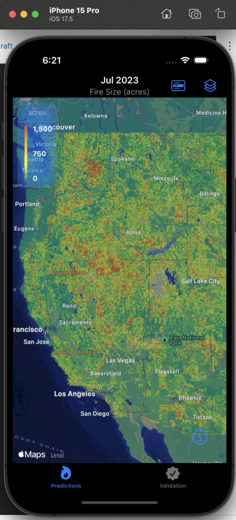
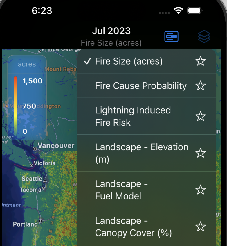
A generic iOS app that helps map your data as layers on the map.
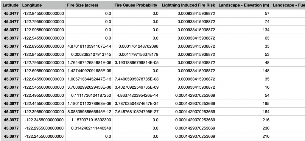
Data Format
File format:
The data needs to be a TSV file (columns separated by tabs).
Title row:
The first row represents the column titles.
Columns:
- The first two column needs to be latitude, longitude.
- The rest of the columns need to be values (decimal numbers) each representing a different layer on the map.
Here’s a sample file:
Leave a Reply